Murrell Park
3 mi southeast · US Army Corps of Engineers
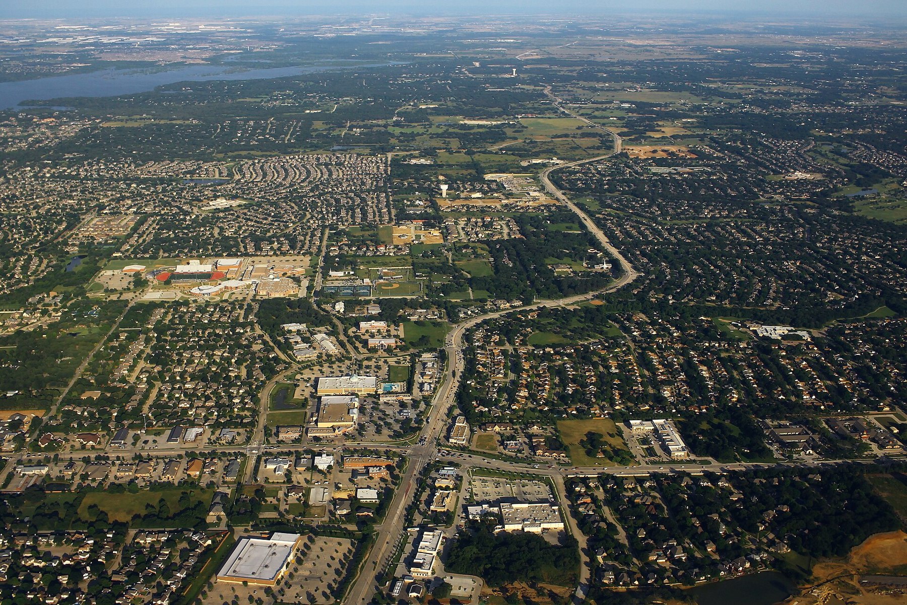
Murrell Park offers day use facilities, boat ramp access and primitive camping on scenic Grapevine Lake, in the middle of the Dallas-Fort Worth Metroplex in Texas.
Outdoors
Lakes, reservoirs and rivers near Flower Mound for boating, kayaking, canoeing and paddleboarding.
Good to know: Life jackets are required for children on most waters, and many lakes require an invasive-species inspection or a launch fee.
3 mi southeast · US Army Corps of Engineers
Murrell Park offers day use facilities, boat ramp access and primitive camping on scenic Grapevine Lake, in the middle of the Dallas-Fort Worth Metroplex in Texas.
6 mi southeast · US Army Corps of Engineers
Centrally located in the heart of the Dallas/Fort Worth Metroplex just minutes from DFW Airport, Grapevine Lake offers a variety of outdoor recreation opportunities.
6 mi northeast · US Army Corps of Engineers
Hickory Creek sits on the extremely popular Lewisville Lake near Dallas, Texas. The almost 30,000-acre reservoir attracts a fair amount of visitors in summer months with warm water temperatures and excellent fishing opportunities.
Map of 38 places loads as you scroll.
Murrell Park offers day use facilities, boat ramp access and primitive camping on scenic Grapevine Lake, in the middle of the Dallas-Fort Worth Metroplex in Texas.
Centrally located in the heart of the Dallas/Fort Worth Metroplex just minutes from DFW Airport, Grapevine Lake offers a variety of outdoor recreation opportunities.
Hickory Creek sits on the extremely popular Lewisville Lake near Dallas, Texas. The almost 30,000-acre reservoir attracts a fair amount of visitors in summer months with warm water temperatures and excellent fishing opportunities.
Just north of Dallas, popular Lewisville Lake is a 29,592 acre lake with unlimited outdoor recreation opportunities. Over 20 parks surround the lake and offer camping, hiking, picnicking, horseback riding, boating, and golf.
This 29,350-acre rural lake is just a few minutes from the Dallas/Fort Worth Metroplex and is a great place to get away from city life.
Joe Pool Lake is a 7,400-acre impoundment located in the southern portion of the Dallas-Fort Worth Metroplex.
Benbrook Lake is located in the scenic open countryside of rolling hills and prairie meadows southwest of Fort Worth, Texas.
Longhorn Park Picnic Area overlooks Benbrook Lake & Dam in north-central Texas, easiley accessible from the Chisholm Trail Parkway and southwest Fort Worth.
Holiday Park dayuse area (North Holiday Park) is on the west side of Benbrook Lake in north central Texas, accessible from US Hwy 377.
East Fork Campground, on the southern shores of Lavon Lake, is a popular escape for city dwellers in the Dallas, Texas area or for any visitors passing through the Northern Texas region.
Holiday Park campground is on the west side of Benbrook Lake in north central Texas and accessible from US Hwy 377. Camping, hiking & horseback trails, boat launch, fishing & wildlife viewing are available.
Rocky Creek Park is on the east side of Benbrook Lake in north central Texas, accessible form Granbury Road or McPherson Road. Day Use picnicking, hiking & horseback trails, and fishing are available.
Clear Lake Campground has a prime location on the shores of Lavon Lake. It is the only shaded campground at the lake, and provides a quiet space for anglers, bird watchers and photographers.
The Heard Natural Science Museum and Wildlife Sanctuary in nearby McKinney features natural history exhibits and nature trails.
Mustang Park is a spacious dayuse area on the south side of Benbrook Lake in north-central Texas, accessible from WInscott Plover Road. Swimming, picnicking, fishing, boat launching, and wildlife viewing are available.
This recreation area is part of Benbrook Lake
This location is available on a first-come, first-served basis only. Visitors are required to physically arrive at the campground to purchase and claim a site.
Bear Creek Campground is on the south side of Benbrook Lake in north central Texas, accessible from Ben Day Murrin Road. Individual & group camping, along with boat launching, is available.
Lakeland Pavilion is a pleasant picnic pavilion and large group campground accommodating up to 500 visitors for picnicking, boating and fishing on Lavon Lake.
Lavonia Campground is a scenic Texas getaway just beyond the Dallas metropolitan area. Visitors can camp, swim, fish, boat or use the day use area.
Hagerman National Wildlife Refuge was established in 1946 to provide habitat for migratory birds, wildlife, and plants native to the area. The 11,320-acre refuge is an overlay of the Big Mineral Arm of Lake Texoma.
Waxahachie Creek Park is on the western shore of Bardwell Lake, less than an hour south of the Dallas-Fort Worth area in north-central Texas.
Love Park is on the southeastern shore of Bardwell Lake, less than an hour south of the Dallas-Fort Worth area in north-central Texas.
Bardwell Lake is located in the Blackland Prairie region of southwestern Ellis County. Built in 1965 for flood control by the US Army Corps of Engineers, Bardwell Lake is located two miles southwest of Ennis off of State Highway 34.
The U.S. Army Corps of Engineers invites you to visit Lake Texoma, the largest lake in capacity in the Tulsa District and the twelfth largest in the United States.
This 3,280-acre lake is located on Aquilla and Hackberry Creeks.
Navarro Mills Lake holds the state record white crappie at 4lbs 9 ounces.
There are 10 Corps of Engineers parks, one state park, and three additional parks managed by Hill County or private individuals. Equestrian riders have a great place to explore rolling hills and woods in the McCown Valley Equestrian Area.
Tishomingo National Wildlife Refuge is one of more than 560 national wildlife refuges that form a network of United States lands and waters managed specifically for wildlife.
When complete, will impound the South Sulphur River in Delta and Hopkins Counties.
Lake of the Arbuckles is forned by Arbuckle Dam which is a feature of the Arbuckle Project . The lake is located at the confluence of the Buckhorn, Guy Sandy, and Rock Creeks.
Springs, streams, lakes - whatever its form, water is the attraction at Chickasaw National Recreation Area.
The largest lake in the United States to be located entirely within a single city's municiple boundaries.
The U.S. Army Corps of Engineers wishes you an enjoyable stay at the project. The lake offers the visitor extensive opportunities for a memorable outdoor recreation experience.
Pat Mayse Lake is located in the Red River Basin in Lamar County, Texas. The damsite is on Sanders Creek (a tributary of the Red River) approximately one mile south of the town of Chicota, four miles northwest of Powderly and twelve miles…
Located in historic territory of the Comanche Indians, Proctor Lake offers a wide variety of activities both on and off the water.
McGee Creek Dam and Reservoir project includes water conveyance facilities, public recreation facilities, a wildlife management area, and a natural scenic recreation area.
The Oklahoma Department of Wildlife Conservation manages over 18,000 acres of land and water, which is open to hunting along with an additional 8,000 acres managed by the Corps.
Distances are straight-line miles from downtown Flower Mound. Listings come from Recreation.gov’s federal recreation database; check each official page for hours, fees, fire restrictions and closures before you go.
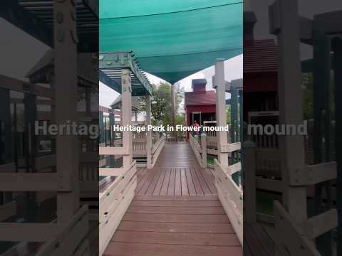
THINGS TO DO · YOUTUBE SHORT
A local activity Short shared by play, travel.
Watch on YouTube ↗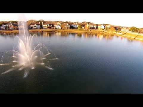
THINGS TO DO · YOUTUBE SHORT
A local activity video shared by Global Video HQ.
Watch on YouTube ↗


Murrell Park (US Army Corps of Engineers), about 3 miles southeast of Flower Mound as the crow flies. Next are Grapevine Lake (6 mi) and Hickory Creek (TX) (6 mi).
Based on Flower Mound’s average highs, March–June, September–November. Conditions at higher elevations can be much cooler.
Federal agencies including US Army Corps of Engineers, Fish and Wildlife Service, Bureau of Reclamation. Each listing links to its official page for hours, fees, closures and current conditions.